
Built on experience.
Rooted in San Diego.
A family-owned land surveying firm dedicated to accuracy, integrity, and the San Diego community we call home.
MC Geomatics, Inc. is a locally owned, family-operated land surveying firm based in San Diego, California. We were founded on a simple belief: that clients deserve straightforward answers, reliable results, and a surveyor who picks up the phone.
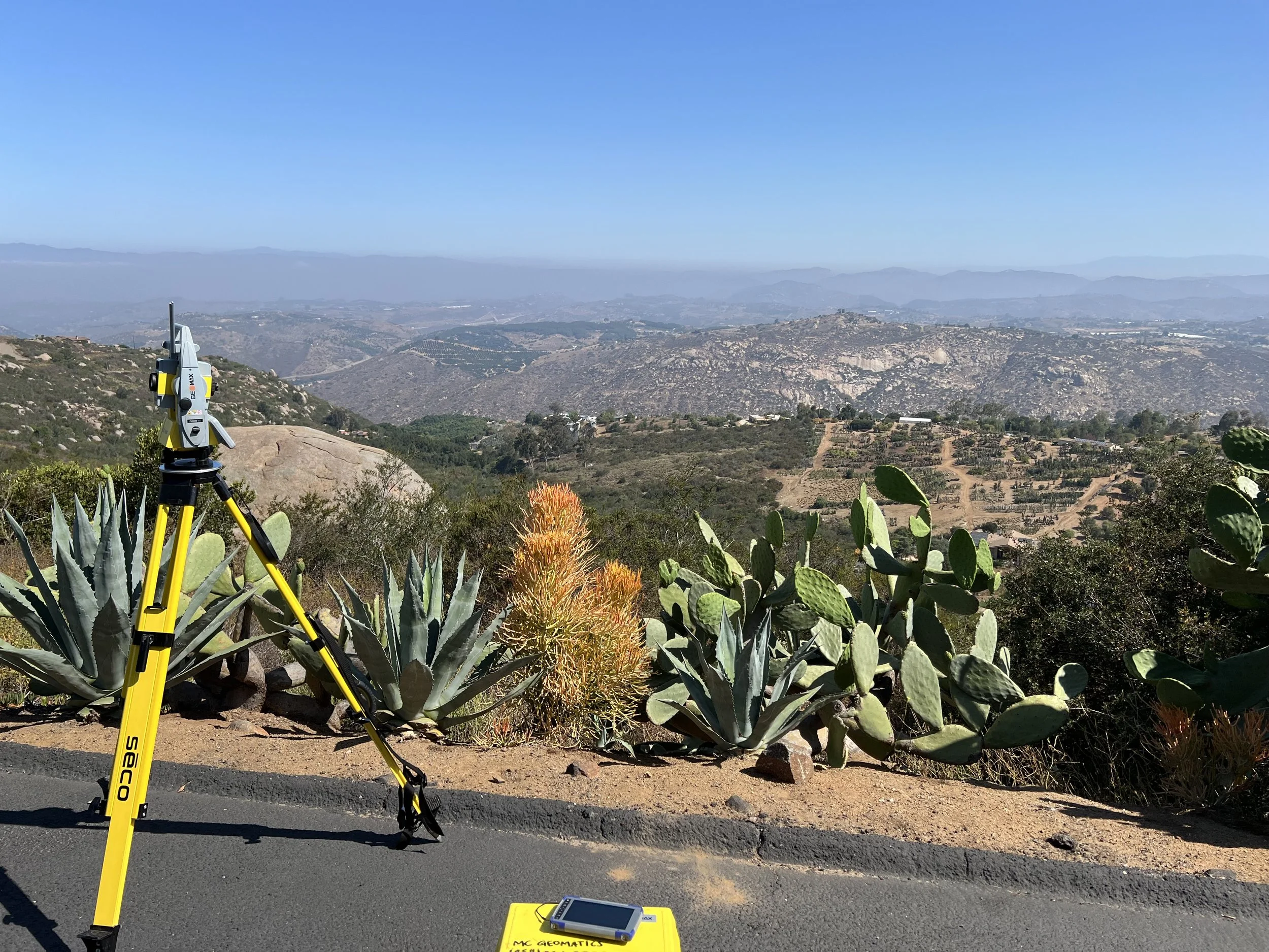
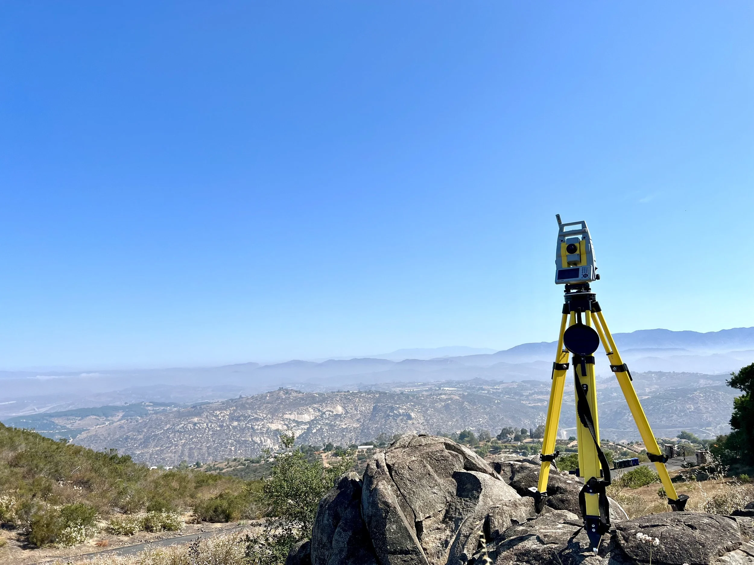
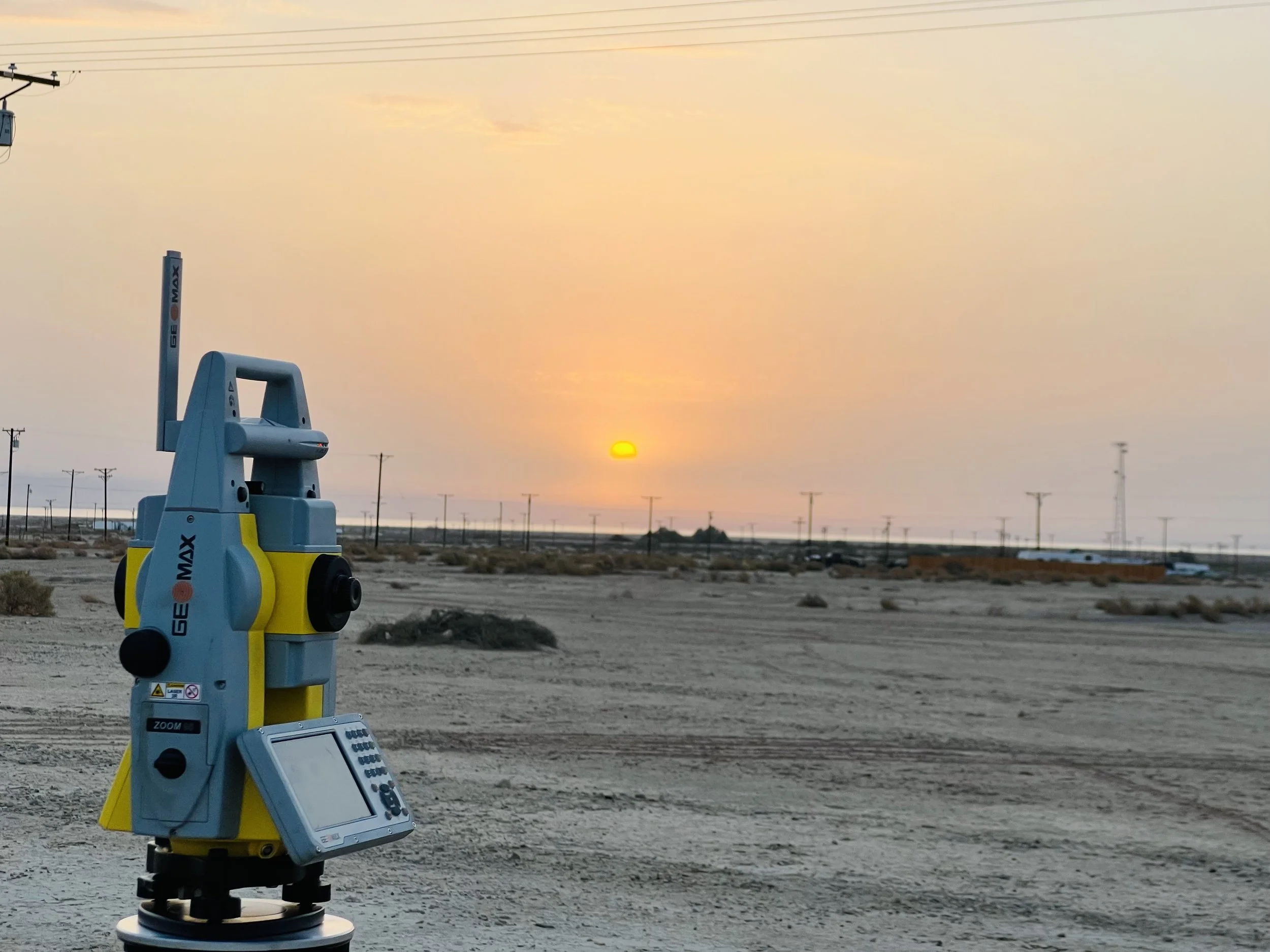
Since 2019, we have served homeowners, contractors, engineers, and developers across San Diego County — on projects ranging from residential boundary surveys to complex SB-9 lot splits and city-required site plans. We combine traditional surveying principles with modern field technology to deliver precise results efficiently, no matter the terrain or complexity.
What makes us different is not just the quality of our work — it is the people behind it. When you hire MC Geomatics, you work directly with a licensed professional who has a personal stake in getting it right.
COMBINED
EXPERIENCE
50+ years
CERTIFICATION
SBE #20297776
DIR #1000875044
LICENSED IN
State of
California
Meet the team
Oscar F. Minero, PLS
President & Founder
PLS #9491
Over 20 years of professional land surveying experience throughout Southern California. Oscar leads every client engagement with a commitment to accuracy, reliability, and honest communication.
Gerardo Rico, PLS
Consultant Surveyor
PLS #9382
More than 25 years of experience in land surveying with a Bachelor of Science in Architecture. Gerardo provides additional technical depth on complex projects requiring a second set of expert eyes.
Abel Perez Torres
Survey Technician
LSIT — In Training
Holds an Associate of Science in Land Surveying with three years of hands-on field and office experience. Currently pursuing his Licensed Surveyor-in-Training certification.
Who we have worked with
Trusted by engineers, developers, and builders.
A sample of the professionals we have partnered with across San Diego County.
Palm Engineering
Omar Batte — Projects Manager
FY 1920 Sewer Rehab — City of Lemon Grove. Construction staking for horizontal and vertical alignment of sewer lines and manholes.
New Vision Building
Rania SaBoom — General Manager
Subdivision Map Preparation in accordance with local and state regulations, with full coordination with engineers, planners, and governing agencies.
Infrat Engineering
Luis Tamayo, PE — President
SR 972 Songbird Ln — Combined topo and boundary survey providing the foundation for accurate design and informed engineering decisions.